Randonnée hivernale et en raquettes
Wellness dans les Alpes
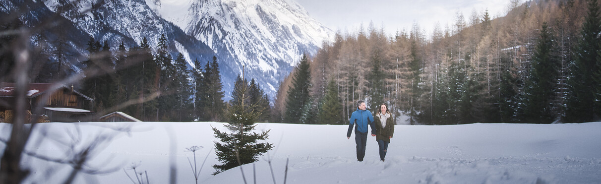
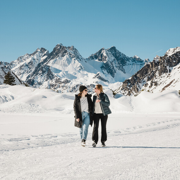
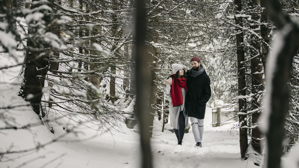
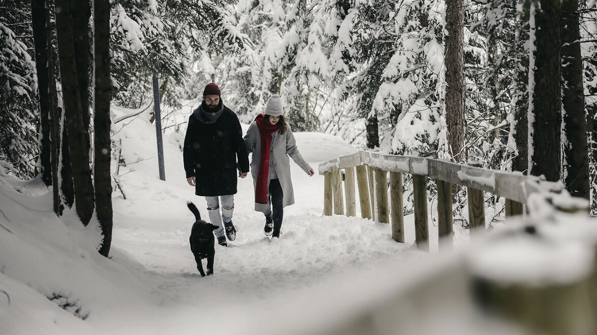
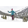
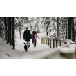
Marcher au cœur d’un paysage de montagne hivernal : la région de St. Anton am Arlberg propose environ 80 kilomètres de sentiers de randonnée hivernale, répartis sur 17 itinéraires balisés. L’enneigement et l’accessibilité des sentiers varient selon les conditions météorologiques.
Découvrez par exemple la vallée de Verwall extern et la Wagner Hütte extern, ou empruntez le circuit du Stanzertal extern.
Des itinéraires plus courts sont également proposés, notamment vers l’auberge Almfrieden extern, sur les hauteurs de Pettneu, ou vers l’étang Egger Weiher extern, à Strengen. Le sentier panoramique du Galzig extern relie les gares supérieures de la Galzigbahn et de la St. Christophbahn.
Retrouvez un aperçu des sentiers de randonnée hivernale extern de la région sur notre carte interactive.
Zeitpunkt der letzten Aktualisierung: 11.10.2026 08:03
Verwall - St. Anton - Stanzertal

Winter hiking trail gallery (St. Jakob - turnoff from the winter hiking trail and the Stanzertal cross-country ski trail)
Winterwanderweg Galzig
Jakobusweg winter hiking trail (St. Jakob Friedheim to the district of Gand)
Winter hiking trail Vadiesen (St. Jakob Römerweg or junction Ganderau to Pettneu - Vadiesen)

Verwall winter hiking trail
Verwall - St. Christoph - St. Anton - Stanzertal

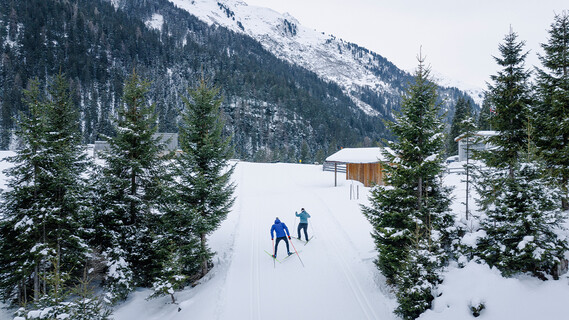
Cross-country ski run Fußballplatz Pettneu 2 km
Pofel trail 1.5 km (Pettneu - junction from Stanzertal trail)
Cross-country ski run and winter hiking trail Ganderau 3 km (St. Jakob - transition from cross-country ski run and winter hiking trail Stanzertal)
Cross-country ski run and winter hiking trail Reit 2 km (Pettneu - junction from cross-country ski run and winter hiking trail Stanzertal)

Cross-country ski run and winter hiking trail St. Christoph 2.5 km
Cross-country ski run and winter hiking trail Stanzertal 22 km (Pettneu to Schnann north of the Rosanna 3 km)
Cross-country ski run and winter hiking trail Stanzertal 22 km (Pettneu to Schnann south of the Rosanna 3 km)
Cross-country ski run and winter hiking trail Stanzertal 22 km (Schnann to Flirsch 2 km)
Cross-country ski run and winter hiking trail Stanzertal 22 km (St. Anton to St. Jakob 3 km)
Cross-country ski run and winter hiking trail Stanzertal 22 km (St. Jakob to Pettneu north of the Rosanna 3 km)
Stanzertal cross-country ski trail and winter hiking trail 22 km (St. Jakob to Pettneu south of the Rosanna 3 km)
Cross-country ski run and winter hiking trail Verwall 10 km (Salzhütte to Rasthaus 2.5 km)
Verwall trail 10 km (Arlenbach to Salzhütte 2.5 km)
Verwall trail 10 km (start to Arlenbach 2.5 km)
Night cross-country skiing Pettneu (Monday, Friday with floodlights - south of the Rosanna 2 km)
Legende
Ouvert
Fermé
Facile
Moyen

Difficile
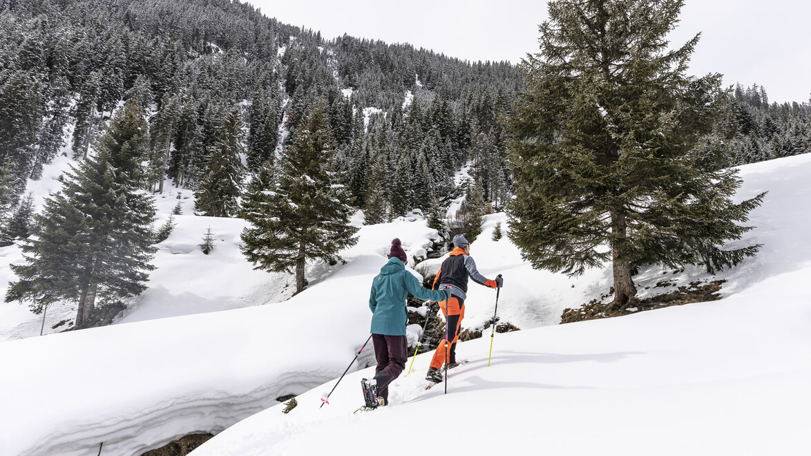
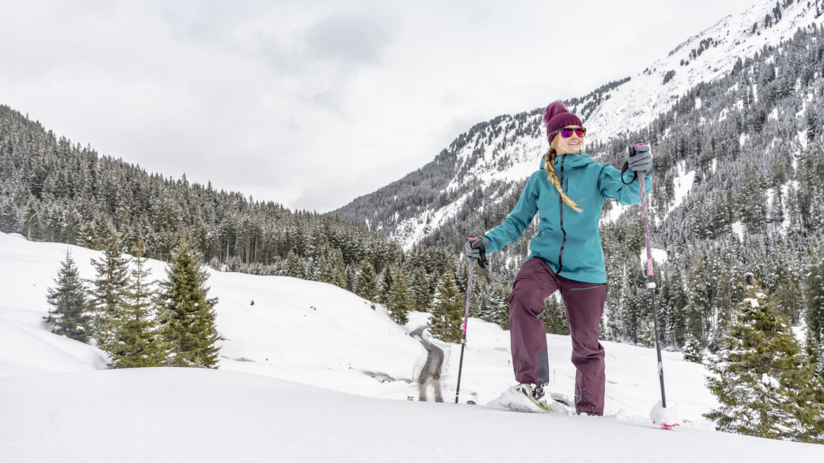
Randonnées en raquettes
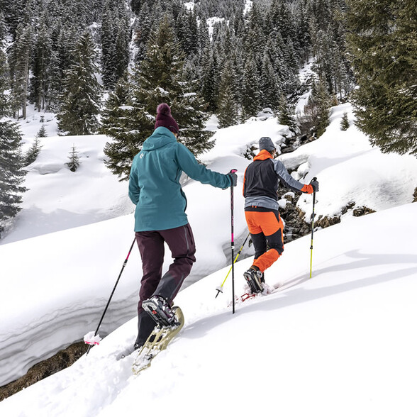
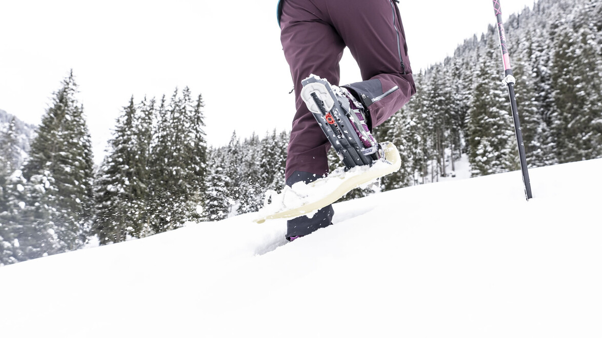
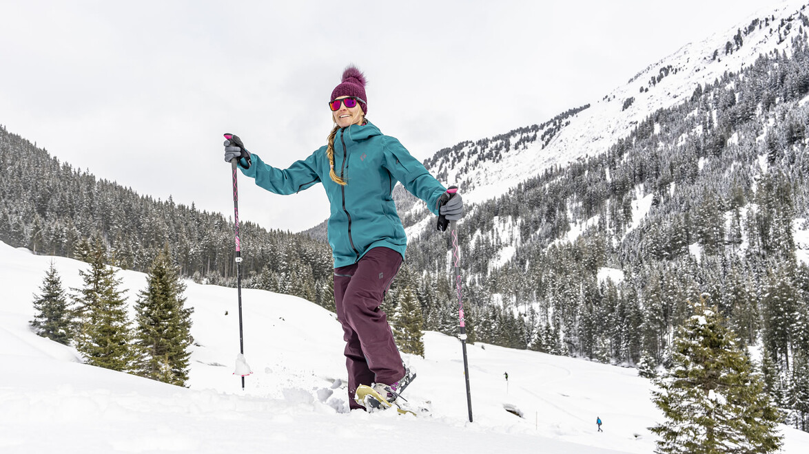
Accompagnés d'un guide spécialisé, vous pourrez progressez dans la neige profonde des paysages d'hiver, laissez-vous aller et oubliez pour un instant le stress quotidien.
Le calme enivrant et le décor féerique de la campagne alpine garantiront des moments inoubliables.


Brochure for winter hiking trails, cross-country trails and toboggan runs
The brochure, ‘Something other than skiing’, which details the numerous winter hiking trails, cross-country ski trails and toboggan runs in the St. Anton am Arlberg region, is available from the St. Anton am Arlberg tourist office and can be downloaded here as a PDF:
Contact
Association de tourisme de St. Anton am Arlberg
Téléphone: +43 5446 22690
E-Mail: info@stantonamarlberg.com

Video - Randonnée hivernale à St. Christoph am Arlberg

Image gallery

Choisi pour vous