Зимние походы и походы на снегоступах
Горное оздоровление
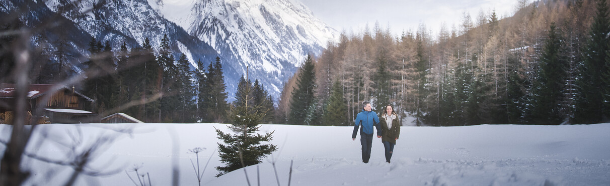
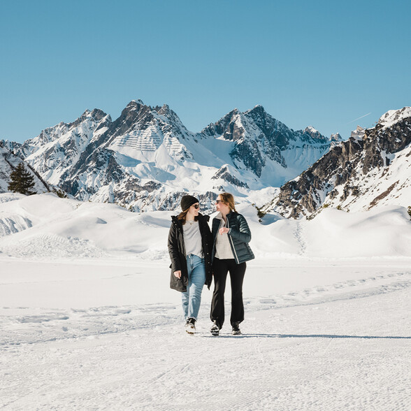
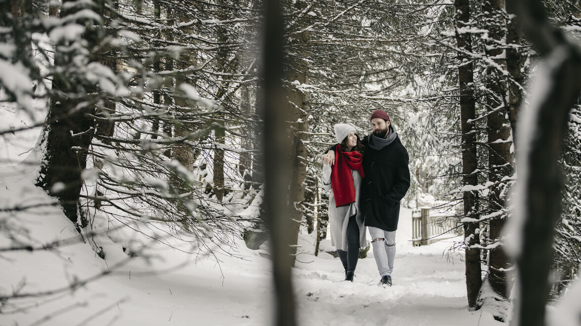
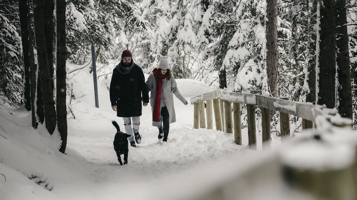
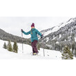
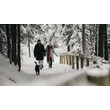
Прогулки среди зимних горных пейзажей: в регионе Санкт-Антон-ам-Арльберг вас ждут около 80 километров пешеходных троп, объединённых в 17 обозначенных зимних маршрутов. Снежные условия и доступность троп зависят от погоды.
Откройте для себя, например, долину Ферваль extern с хижиной Вагнера extern или отправьтесь на прогулку по кольцевому маршруту в долине Штанцерталь extern.
Есть и более короткие маршруты, например к гостевому дому «Альмфриден» extern на склоне над Петтноем или к пруду Эггер-Вайер extern в Штренгене. Панорамная тропа Гальциг extern проходит между верхними станциями канатных дорог Galzigbahn и St. Christophbahn.
Обзор зимних пешеходных маршрутов extern региона доступен на нашей интерактивной карте.
Zeitpunkt der letzten Aktualisierung: 2026-10-11 08:03
Verwall - St. Anton - Stanzertal

Winter hiking trail gallery (St. Jakob - turnoff from the winter hiking trail and the Stanzertal cross-country ski trail)
Winterwanderweg Galzig
Jakobusweg winter hiking trail (St. Jakob Friedheim to the district of Gand)
Winter hiking trail Vadiesen (St. Jakob Römerweg or junction Ganderau to Pettneu - Vadiesen)

Verwall winter hiking trail
Verwall - St. Christoph - St. Anton - Stanzertal

Cross-country ski run Fußballplatz Pettneu 2 km
Pofel trail 1.5 km (Pettneu - junction from Stanzertal trail)
Cross-country ski run and winter hiking trail Ganderau 3 km (St. Jakob - transition from cross-country ski run and winter hiking trail Stanzertal)
Cross-country ski run and winter hiking trail Reit 2 km (Pettneu - junction from cross-country ski run and winter hiking trail Stanzertal)

Cross-country ski run and winter hiking trail St. Christoph 2.5 km
Cross-country ski run and winter hiking trail Stanzertal 22 km (Pettneu to Schnann north of the Rosanna 3 km)
Cross-country ski run and winter hiking trail Stanzertal 22 km (Pettneu to Schnann south of the Rosanna 3 km)
Cross-country ski run and winter hiking trail Stanzertal 22 km (Schnann to Flirsch 2 km)
Cross-country ski run and winter hiking trail Stanzertal 22 km (St. Anton to St. Jakob 3 km)
Cross-country ski run and winter hiking trail Stanzertal 22 km (St. Jakob to Pettneu north of the Rosanna 3 km)
Stanzertal cross-country ski trail and winter hiking trail 22 km (St. Jakob to Pettneu south of the Rosanna 3 km)
Cross-country ski run and winter hiking trail Verwall 10 km (Salzhütte to Rasthaus 2.5 km)
Verwall trail 10 km (Arlenbach to Salzhütte 2.5 km)
Verwall trail 10 km (start to Arlenbach 2.5 km)
Night cross-country skiing Pettneu (Monday, Friday with floodlights - south of the Rosanna 2 km)
Legende
Geöffnet
Geschlossen
Leicht
Mittel

Schwer
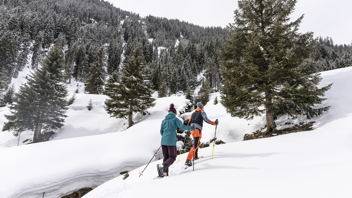
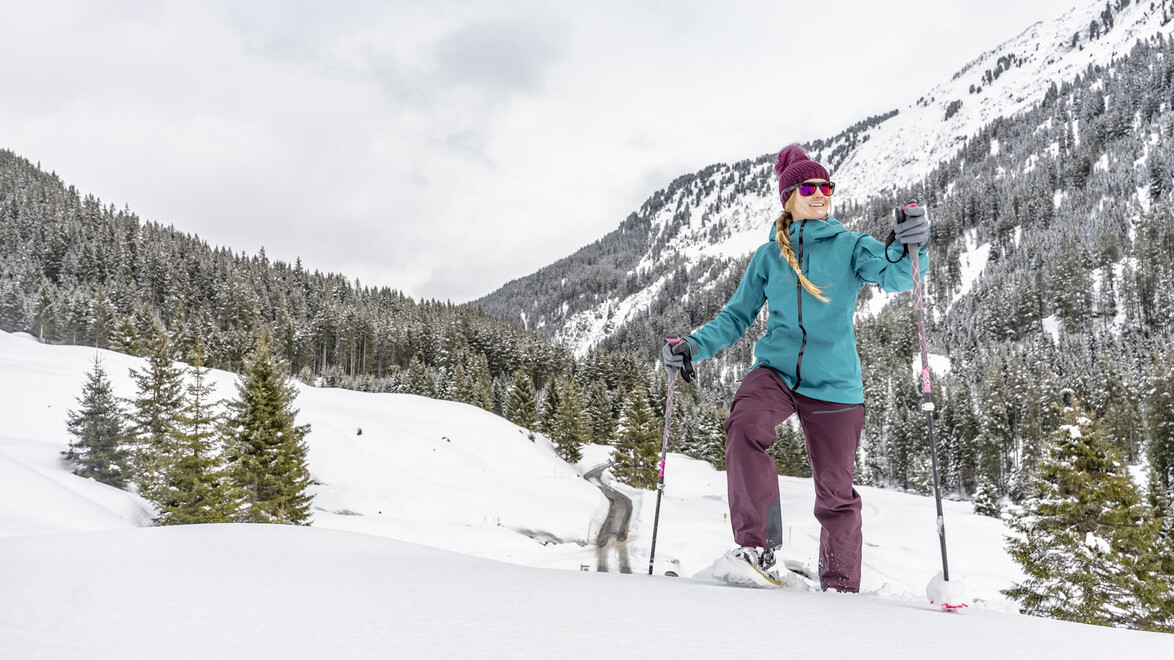
Прогулки на снегоступах
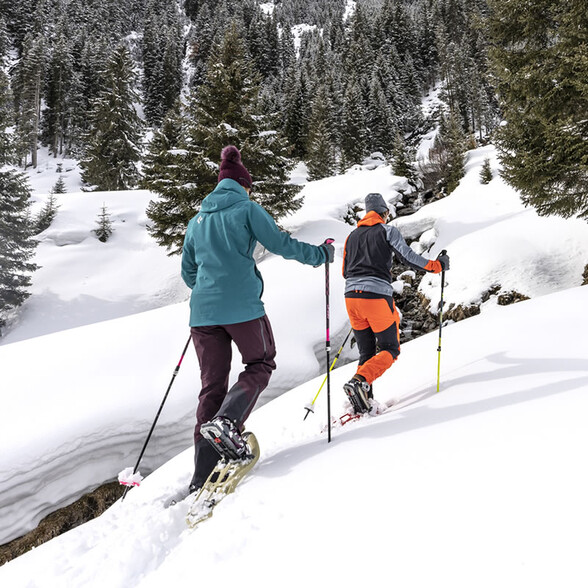
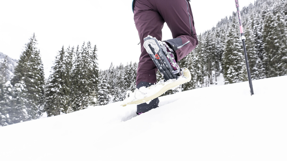
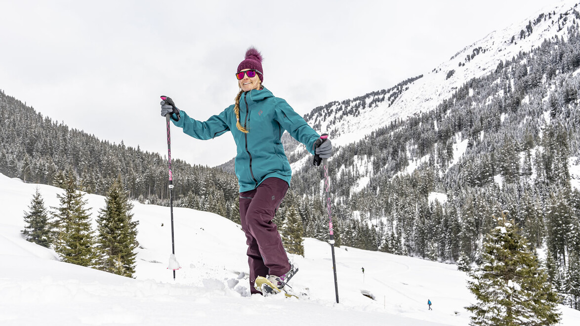
Совершите прогулку на снегоступах по заснеженным альпийским ландшафтам в сопровождении специально обученного гида. Не бойтесь упасть в свежий альпийский снег и забыть о повседневном стрессе!


Brochure for winter hiking trails, cross-country trails and toboggan runs
The brochure, ‘Something other than skiing’, which details the numerous winter hiking trails, cross-country ski trails and toboggan runs in the St. Anton am Arlberg region, is available from the St. Anton am Arlberg tourist office and can be downloaded here as a PDF:
Контакт
Ассоциация туризма Санкт-Антон-ам-Арльберг
Телефон: +43 5446 22690
Почтa: info@stantonamarlberg.com

Видео - Зимние походы в Санкт-Кристоф-ам-Арльберг

Галерея изображений

Выбранный для вас